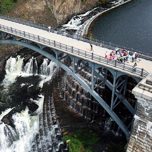
Postcard: Empire State Trail, Rosendale
Roll beneath the shadows of the pines and past the bracken meadows. The Wallkill Valley Rail Trail — part of the Empire State Trail — can be combined with the O&W Canal trail for an interesting and varied loop ride.
![]()
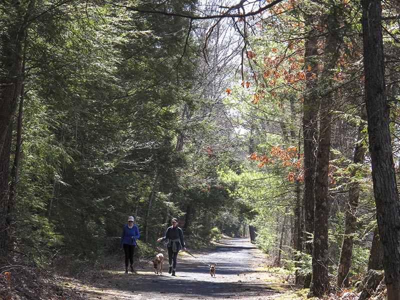
So much for avoiding the rail-trails. The newly-opened Empire State Trail is worth admiring, and I couldn’t help exploring this section from Rosendale to Kingston, and back again.
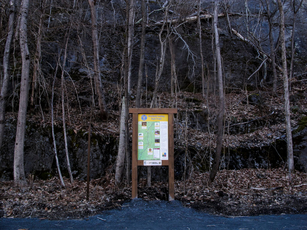
An information kiosk near the trestle bridge parking area on the Empire State Trail. The trail runs concurrent with the Wallkill Valley Rail Trail.
First Stop: Breakfast
I’d planned on breakfast at the Rosendale Cafe (434 Main Street, Rosendale), a hippy-era throwback vegetarian cafe in a timber-floored, high-ceilinged Victorian building in the middle of this eclectic town. childhood summers spent in quiet upstate lake towns.
But Rosendale Cafe doesn’t open til later, so I drove into Stone Ridge for breakfast at The Roost (3542 Main Street, Stone Ridge). I sat at the live-edge counter for an inexpensive breakfast, cheerfully served, of eggs and home fries — little matchstick potatoes deep-fried in a gremolata for a spectacular briny taste.

Breakfast at The Roost in Stone Ridge, New York.
Back in Rosendale, I parked at the parking lot for the Rosendale trestle bridge on Binnewater Road-Route 7. There’s an on-ramp to the Empire State Trail/Wallkill Valley Rail Trail just across from the parking area, and from there, you can turn right to pedal to the expansive views of the Rosendale trestle, spanning the Rondout Creek from 150 feet above.
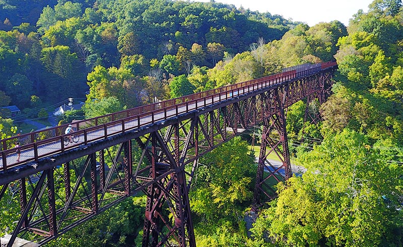
The 150-foot high Rosendale trestle, spanning the Rondout Creek, in summer. The trestle lies along the Wallkill Rail Trail segment of the Empire State Trail. (File photo)
I turned left on the trail, though, heading north on the mostly-flat trail.
As part of the Empire State Trail opening, the path has been repaved in sections and split-rail fencing has been added at steep edges. It curves and rolls north, alternating with soothing woodland and the worn, rocky remains of Rosendale Cement Works in the Binnewater Historic District. Here and there, long gashes are carved in the rockface, a remnant of the area’s limestone-harvesting past.
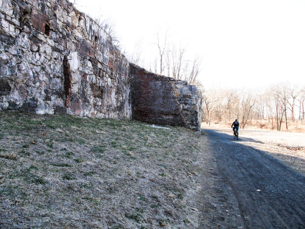
The historic remnants of the once-great cement works in Rosendale. The Empire State Trail/Wallkill Valley Rail Trail threads through the vast extent of ruins in the historic district.
In Kingston, the trail ends at Route 32, a somewhat-busy main road into town. But instead of retracing my path on the Empire State Trail, I looped back to Rosendale on the O&W trail, picking it up via an easy-to-miss dirt track on Hurley Ave (if you take this route, use the RideWithGPS map, below, to navigate to the O&W).
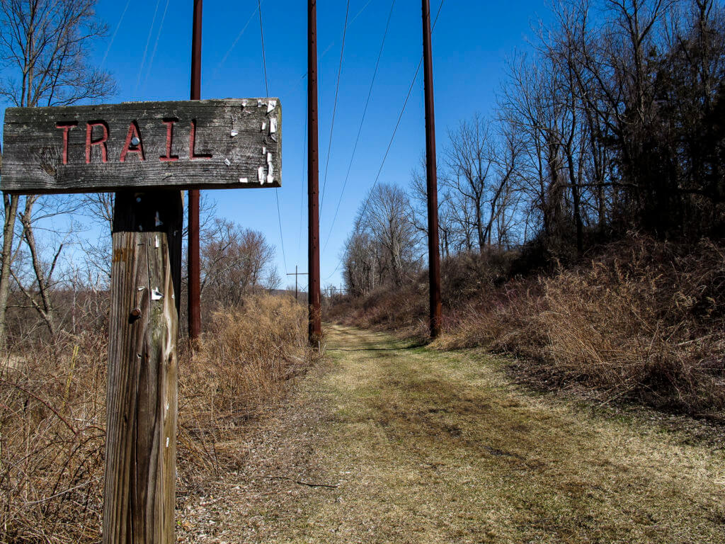
Take my word for it: the segment of the O&W trail north of Hurley is rough. But you’ll avoid it by following the RideWithGPS directions below.
The O&W has a wide paved section that tracks alongside route 209, but it shortly dips into shady, deep-green hemlock woods, leading eventually to a pristine beaver bog. I had lunch at the south end of this bog on a bench overlooking the water.
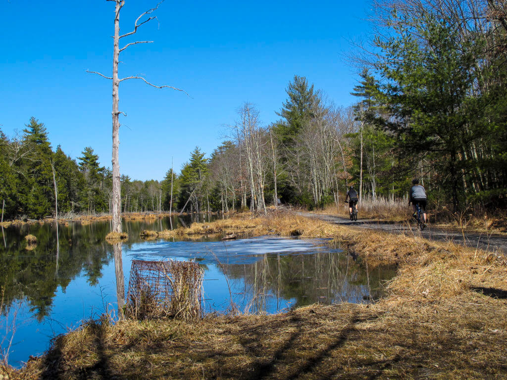
The beaver bog along the O&W Trail.
This was a great day out on one of the earliest warm days in the Catskill foothills. I finished with a beer at the Rosendale Cafe — opened for lunch! — and headed home.
More e-bike routes you might like:
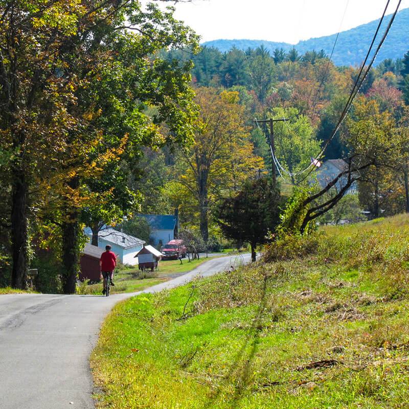
The Ashokan: A Catskills Ride
Further Afield: Stokes State Forest and Tillman Ravine
The Whitlock
