The Sherman:
A Ride Through the Oblong
Leave the little colonial village of Sherman behind, and find total silence in a once-disputed territory between Connecticut and New York.
![]()
Length: 19.5 miles
Elevation change: 1,978 feet
Nearby Towns: Sherman, New Milford
Begin and End: At Colonial Park in Sherman, CT
On the western edge of southern Connecticut lies an accident of history called “The Oblong”. This curious name was given to the long, narrow, 1.81-mile wide slice of land sitting on the New York side of its border with Connecticut.
Weird name. I don’t know if I’ve ever even used the word “oblong” in a sentence before this ride. But here’s the gist: in the 1700s, New York and Connecticut settled their border dispute with a compromise. Connecticut would get the “panhandle” — the area of southwest CT that juts into New York and includes Greenwich — and New York would get this long strip of land from Ridgefield to Massachusetts. A 60-by-2 mile strip.
And I have to say, it’s one of the coolest slices of New York. There’s actually not much going on here, which is why there’s not too much traffic, not many new homes or subdivisions. It’s just sort of serene, woodsy, misty in the fall and not too hot in the summer. I love it.
On this ride, you’ll explore the intimate, peaceful farmlands as you cross the border, again and again, between Connecticut and New York State.
The Ride
In Sherman, Connecticut, park your car at Colonial Park on Route 37/39; you’ll find a port-a-john there, but no other facilities. Leaving the park, turn left onto the road, which can carry light traffic. Stay to the side, and be cautious on the curves.
In just under a mile, you’ll meet Chimney Hill Road. Take this right-hand turn, and begin a gentle climb through a neighborhood of houses in the woods. And I have to admit, I’m not a fan of rides that pass through neighborhoods of newish houses, but I can look the other way for this ride.
As you turn onto Briggs Hill Road, the climb becomes, briefly, more strenuous. But you’ll top out at a lovely horse farm, with views of the hills to the east, north and south.
Just past the white farmhouse at the top of Briggs Hill Road, you cross into New York State, and the dirt begins. The road — now called Meeting House Road — winds past old farmhouses, and dips into the woods.
Turn left at Game Farm Road, where the pavement begins again, but briefly. Soon you’re on dirt again.
Route 67 is a gentle county route in New York State, and cars are rare along this stretch. Crossing back into Connecticut, the road becomes again an unlined, un-shouldered country road. Enjoy this long and easy downhill ride past newer homes and older ones, weathered barns and stone walls.
A Sanctuary, and a Victorian fancy
Along Wakeman Hill Road, you’ll pass the Connecticut Audubon Society’s Deer Pond Farm sanctuary. Pull in here and stretch; the preserve, with its many different ecosystems, is a sanctuary for a wide variety of birds. Take a short nature walk and keep your eyes open to hear and see warblers, woodpeckers, and more.
Old Quaker Hill Road is a long stretch of pretty quiet country road, lined but relatively quiet. You’ve gained a considerable amount of elevation on this ride, and you can enjoy an exhilarating downhill section here.
In fact, the remained of your ride — once you reach Quaker Hill Road — is mostly downhill, all the way back to your car at Colonial Park.
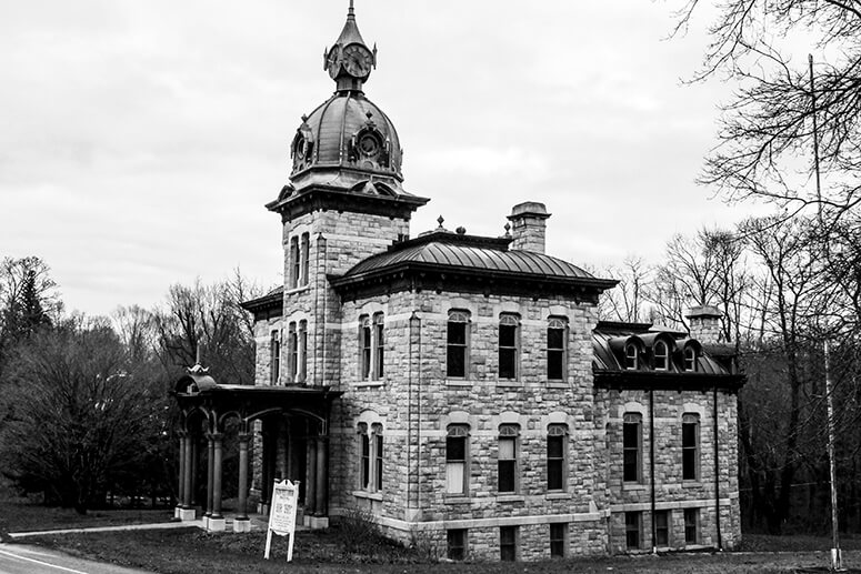
A historic late Victorian eclectic design, the Akin Free Library features a copper cornice and clock tower. You’ll see it at the corner of Church Road and Old Quaker Hill Road in Pawling.
These notes are descriptive only. You should always use the RideWithGPS app and/or download the turn-by-turn directions (provided above) for precise navigation.
The Details:
Elevation change: 1978 feet up and down over the whole ride.
Direction: For best results, leave your car in Colonial Park, a neighborhood park in Sherman. Exit the park by turning left onto Route 39/37, then ride for one mile to Chimney Hill Road. Turn right, and follow the route in a clockwise direction.
Start and end: at Colonial Park, Route 37/39 in Sherman, CT (GPS: 41.574461, -73.498263). There’s plenty of parking here, and a port-a-john.
Afterwards:
A 13-minute drive from Sherman puts you in New Milford, Connecticut, a quintessential New England town with village green, lamps and sidewalks, cafes and shops. My all-time favorite breakfast here comes from River and Rail Cafe, on Bank Street, where they serve a crave-inducing spicy Moroccan egg breakfast with toast and salad. The baked goods are wonderful as well.
Birch and hemlock, Spring Lake Road
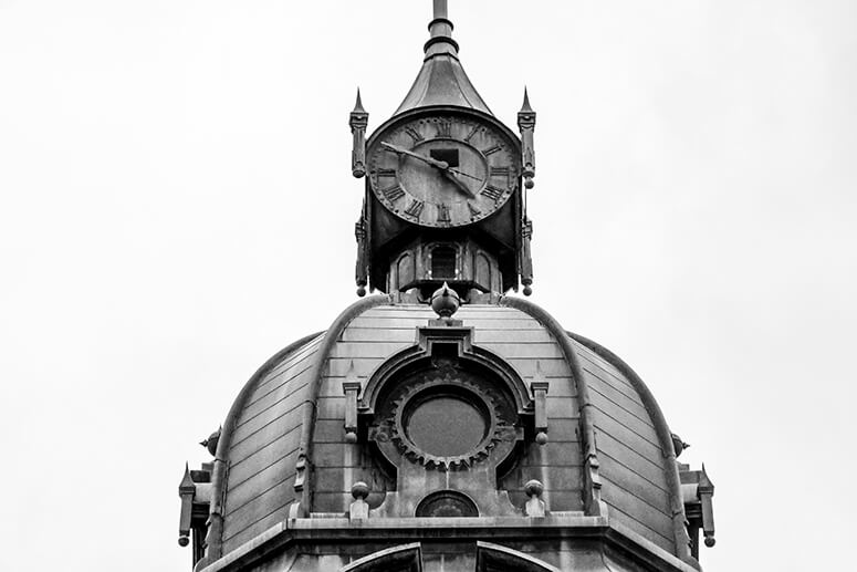
The copper dome of the Akin Free Library on Quaker Hill Road
Where Briggs Hill Road becomes Meeting House Road
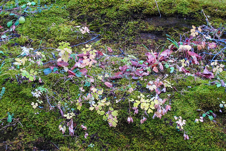
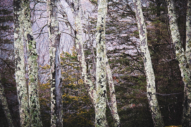
Moss and leaves in the Oblong
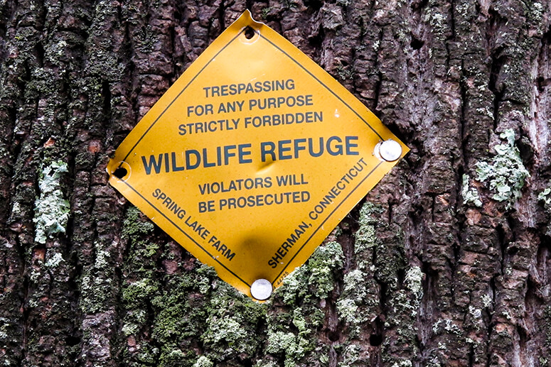
A wildlife refuge sign on Spring Lake Road
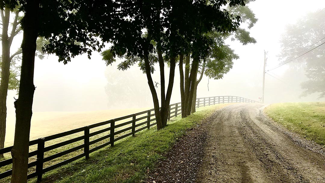
Chapel Hill Road
The Akin Free Library
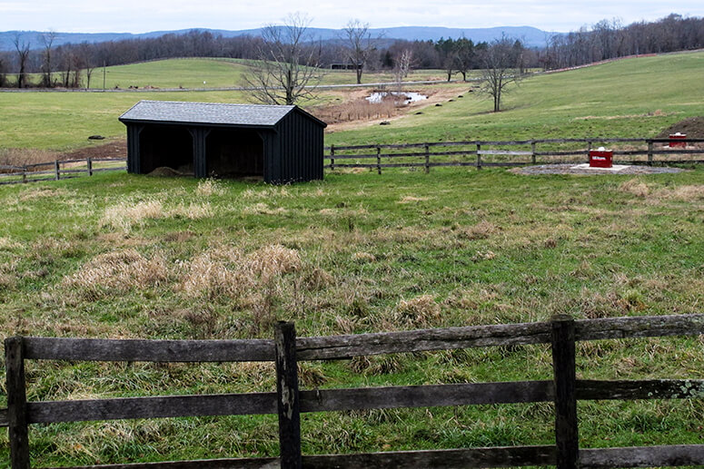
Farmland in the Oblong
More e-bike routes you might like:

The Ashokan: A Catskills Ride

An Old Croton Aqueduct E-Bike Route

An Empire State Trail Loop Ride: The Maybrook Trailway Past Whaley Lake
