The Steep Rock:
A Western Connecticut Ride
Steep Rock Preserve anchors this ride over thick, hard-packed roads, smooth paved roads, and rough, uneven pavement. A gorgeous e-bike ride featuring streams, preserves and even a donkey.
![]()
Length: 11.5 miles
Elevation change: 1,394 feet
Nearby Towns: Roxbury, New Milford
Begin and End: At Steep Rock Preserve in Washington Depot, CT
In Connecticut’s Shepaug Valley, the hybrid electric bike opens up the miles of quiet country road to easy, lovely exploration. I call the unpaved roads here “self-limiting”; because they slice narrowly and ruggedly through the woods, and they weed out the traffic (and road bikes) that aren’t up to the challenge.
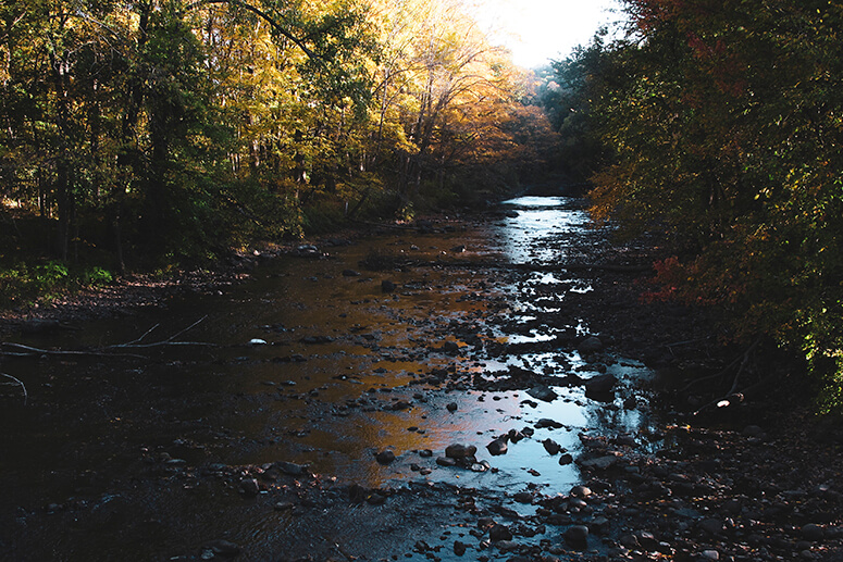
You find yourself not in farm country here, but rolling woods and dirt roads for miles. Streams and the Shepaug River flow under bridges at several turns, and in the fall, the rivers glow with the golden leaves of massive sugar maples and yellow birch from above. Say hello to the friendly donkey who lives at a quaint bend in the road at the bridge.
The Preserve
Steep Rock Preserve anchors this ride, a 998-acre park with abundant trails for hiking, mountain biking and horseback riding. Its centerpiece: a 235-foot curved railroad tunnel hewn by hand from the mountainside, cool and shady in the summer month.
Download the Steep Rock Preserve Trail Map
The preserve has many places for a picnic, and ample trails for a hike among tall, shimmering hemlocks and shaggy maple trees. You could also explore Tunnel Road on your bike, following alongside the Shepaug River. It eventually leads to Battle Swamp Road and Judd’s Bridge, part of our loop.
Following the RideWithGPS directions — and make sure you download the turn-by-turn cue sheet, in case your phone battery conks out — you’re on hardpack dirt roads for most of the way around this loop. These roads are quiet and wooded, and easy to ride; you’ll see almost nobody out here.
I do whatever I can to avoid state roads and highways. There was no avoiding route 199, but I’ve never had a problem with cars, which are few and far between. (If you really want to avoid automobiles, you can start this ride early in the morning and especially on the weekends, when traffic is scarce.)
And I always try to avoid newer housing developments and subdivisions, but in this case, I had to pick up the streets through one subdivision to connect back to the woods roads. (If the road is called “Bonnie Vu”, there’s a good chance it’s in a subdivision!). But the diversion doesn’t last, and before long you’ll be back among the old trees and shaggy fields.
These notes are descriptive only. You should always use the RideWithGPS app and/or download the turn-by-turn directions (provided above) for precise navigation.
The Details:
Elevation change: 1394 feet up and down over the whole ride.
Direction: For best results, leave your car in the Steep Rock preserve parking area (there are several, but I chose the one just over the bridge).
Follow the unpaved park road east as it continues, briefly, through the preserve. You’ll climb a somewhat steep, rutted road to Route 199. Make that right-hand turn at the top of the hill, leave the park behind and follow the route in a clockwise direction.
Start and end: Steep Rock Preserve, 2 Tunnel Road, Washington Depot, CT (GPS: 41.621525, -73.325285).
The Roads:
- Lots of dirt! A hybrid bike at the very least, or a mountain bike is your best bet.
- The hills are modest and won’t leave you out of breath.
- Where roads are paved, they’re smooth and black, recently resurfaced and showing little wear.
- Route 199 is a double-yellow lined road, but fairly un-trafficked. Most other paved roads have no centerline.
Afterwards:
Whenever I’m within “coo-ee” of New Milford, Connecticut, my absolute favorite breakfast is the Spicy Moroccan Fried Eggs at the River & Rail Cafe (21 Bank Street, New Milford, CT). These eggs are deep-fried (oh yes) and served with either tapenade or hummus, greens and toast. Unbeatable. The staff there is as friendly as it gets.
New Milford is itself a colorful, interesting town with plenty of shops and cafes. I’ve stopped for a brew at The Iron Rail, just alongside the railroad tracks. We were deep in the middle of the pandemic at the time, and the high-top tables set outside under umbrellas were a welcome and safe place to eat and drink.
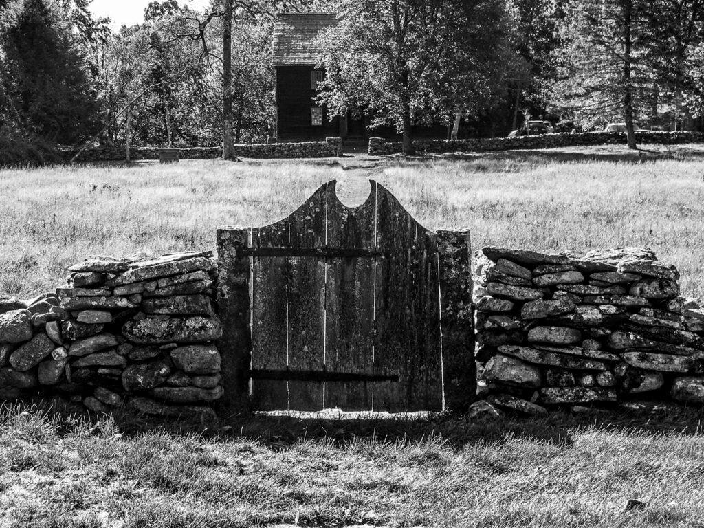
A primitive wooden gate in a stone wall, leading to a colonial home on TK
More e-bike routes you might like:
Further Afield: Stokes State Forest and Tillman Ravine
The Craryville

The Perkins Memorial
