The Vernooy Kill:
A Kerhonkson Ride
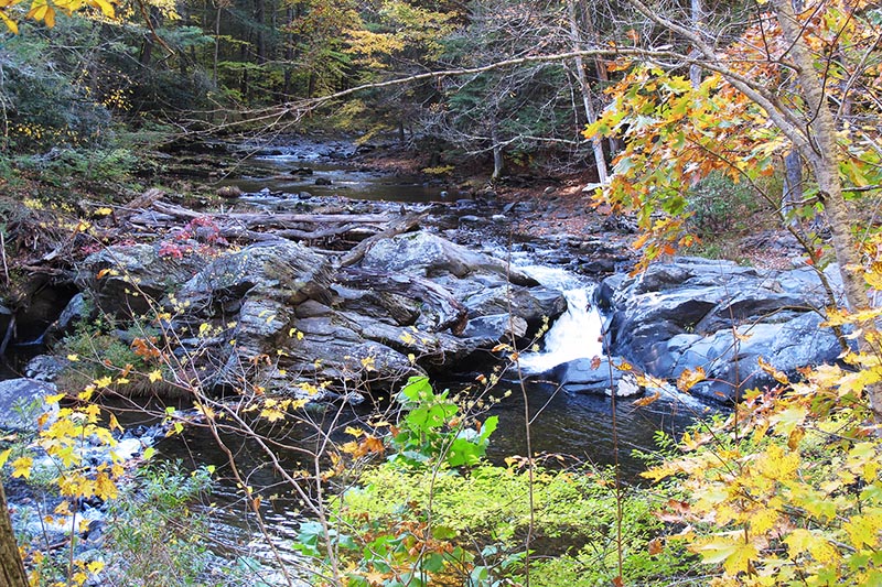
A rushing stream with intermittent waterfalls follows the early part of this loop ride in Kerhonkson, in the Southern Catskills. Then the woods give way to farmland and grazing cattle.
![]()
Length: 17.4 miles
Elevation change: 1,135 feet
Nearby Towns: Kerhonkson, Ellenville
Begin and End: At Lippman Park in Wawarsing
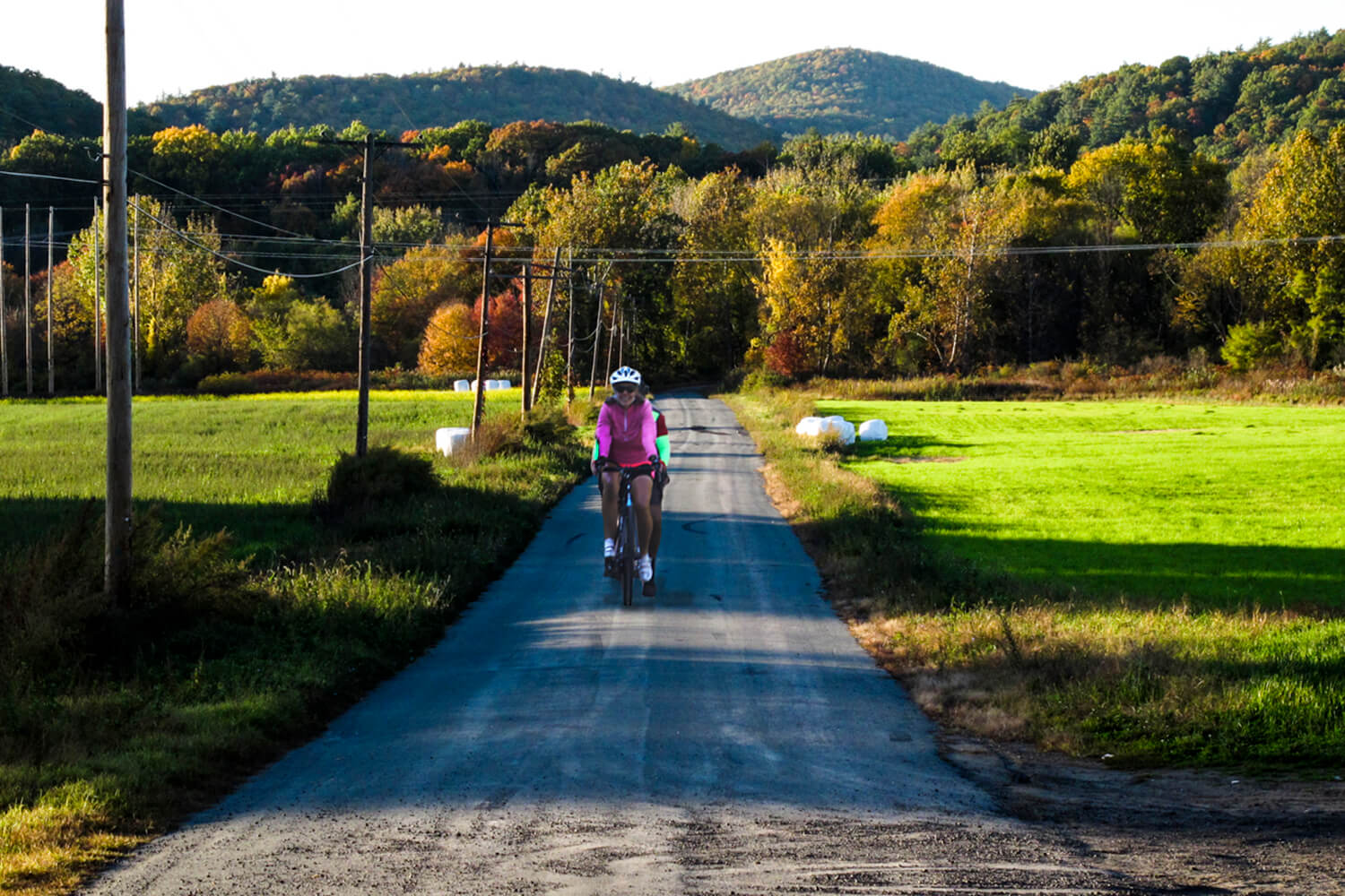
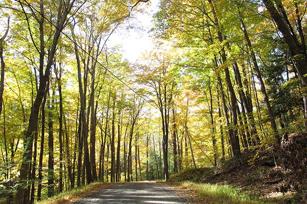
Follow the flowing Vernooy Kill (it’s Dutch for “river”) along an unpaved road through the Vernooy Kill State Forest. Roll up and over hills and farmland fields, with impressive views to the Catskills. You’ll pass three brooks along the way — the Vernooy, the Rondout and the Mombaccus Creek — on your backcountry tour of this canal-era hamlet.
Leave your car at Lippman Park in Wawarsing and ride out onto Route 209, briefly. You’ll immediately turn into a quiet neighborhood at Lundy Road, then begin a gentle climb up into the Vernooy Kill State Forest, the Vernooy Kill rushing along on your left. At the intersection of Rogue Harbor Road, the character of the landscape changes and you’re deep in the cool hemlocks of the state forest. It’s a little bumpy for a while, but nothing that will make you get off your bike and walk it. The pavement starts up again after a few miles.
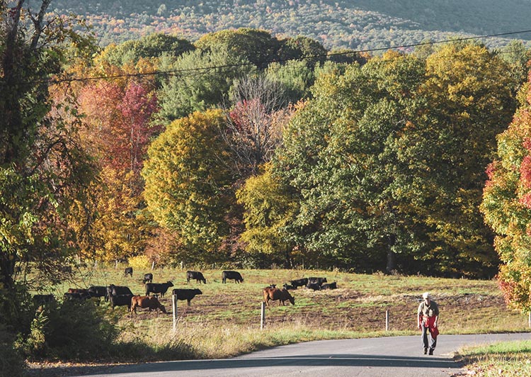
You can certainly take a shortcut, a right-hand turn off Rogue Harbor Road at Cherrytown Road, if you want. It’s a pretty road that leads past a dude ranch. But if you’re up for it, I suggest you stick to the route and follow it over Upper Cherrytown. The farmland there is gorgeous and the district views spectacular.
Take it easy coming down Route 3. It’s an exhilarating ride after the dirt roads you’ve been on, and it’s downhill all the way. You’ll see few cars — especially if you’re riding early morning or late afternoon — and the shoulder will give you ample room.
At the Route 209 crossing, it’s a quick left-hand turn to the Kerhonkson Diner (cross the road carefully). The food is diner-basic and fortifying, and a good place to read up on the history of this modest Catskills town. Kerhonkson was once a thriving resort town, drawing tourists from the city to the “foothills of the Catskills” (technically, Kerhonkson is just outside the Catskill park). A confluence of a canal, railway and roads buoyed the town to early success, which eventually fell away as agriculture in the area waned.
After a stop at the diner, return to the route. The last stretch of the tour follows alongside the Rondout Creek on Berme Road, with traces of Kerhonkson’s canal-era history. You can glimpse the berm alongside the former canal as you ride on Berme Road.
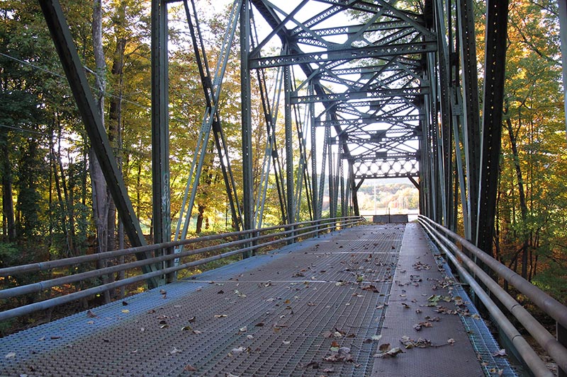
About 3.5 miles on Berme Road, you’ll find yourself in a tiny neighborhood, with houses close to the road. Here, follow Port Ben Road to a steel bridge across the Rondout. Concrete barriers prevent cars from crossing, but you can ease your bike past these and cross the creek to the other side.
A wide meadow, silent except for the birds and late-summer crickets, opens up in front of you. It’s a flat, paved pedal and your last quiet road until you get back to Lippman Park.
This route is great for a fall afternoon, because the foliage is truly stunning in golden and amber shades against the deep green pastures and forests of pine.
These notes are descriptive only. You should always use the RideWithGPS app and/or download the turn-by-turn directions (provided above) for precise navigation.
The Details:
Elevation change: 1135 feet up and down over the whole ride.
Direction: For best results, leave your car in Lippman Park. Follow the bike path at the western edge of the park (behind the public restrooms); it leads to a gate at the south end of the park, onto Route 209. From the gate, turn right onto Route 209 and follow the route in a clockwise direction.
Start and end: at Lippman Park, Landfill Road (off US 209) in Wawarsing, NY (GPS: 41.762098, -74.353494). Along with plenty of parking, you’ll find comfortable and clean public restrooms here.
Afterwards:
Kerhonkson is nestled between the breathtaking scenery of the Shawangunk Ridge to the south and, to the north, the Catskill Mountains. You could finish your day with a driving tour of the region, heading north into the deeper Catskills and encircling the Ashokan Reservoir on Routes 28 and 28A.
If you need to stretch your legs again, make sure to check out the Ashokan Promenade, just west of the intersection of County Routes 28A and 213. The walkway stretches out across the dam, and the views are for miles.
For caffeine closer to Kerhonkson, head east along Route 209 to Lydia’s Cafe in Stone Ridge. Wider dining options are available in New Paltz, a great place to spend an afternoon wandering the sidewalks and shops.
More e-bike routes you might like:
The Steep Rock
The Minnewaska: A ‘Gunks Ride
The Sherman
