The Fahnestock:
A Gravel Ride Through the State Park
Ride alongside a gorge and under a canopy of hemlock and pine. This ride takes you through pond-studded Fahnestock, old farmlands and the site of a Revolutionary War field hospital.
![]()
Length: 14.9 miles
Nearby Towns: Cold Spring, Garrison
Elevation Gain: 1928 feet
Begin and End: The parking area at the corner of Dennytown Road and Sunken Mine Road, Fahnestock State Park
Like a hike on a bike. Along the winding, tree-canopied roads of Fahnestock State Park, low stone walls and towering hemlocks mark the edges of old and long-gone farms. Soldiers of the Revolution marched through here, and reminders of old iron mines still dot the park.
But it’s the landscape that draws me to Fahnestock: its deep gorge through the Canopus Creek ravine, the ponds where otters look back at you, the rolling hills and age-old pastures and crumpled barns at the corner of one dirt road and another.
I’ve ridden this route in summer, when the trees provide welcome shade, and on the cusp of winter, when Mine Hill Road is closed to cars and it’s just the hikers and the bicycles, and a fox here and there.
The Ride
The route makes a circle through the Cold Spring backcountry, first traveling through the Fahnestock gorge, then into quiet neighborhoods and lakeside compounds, before returning through well-used farmlands of great natural charm.
Leave the car at the corner of Dennytown Road and Sunken Mine Road, where you’ll find a good-size, unpaved (and a little bumpy) parking area. You’ll start the ride here, passing through the gate to the unpaved Sunken Mine Road.
Sunken Mine Road is closed to car traffic from December to April — good news for the bikes. The hardpack road is rough in spots, owing to the cars and trucks that tackle the drive to the ponds. Watch for bumps and potholes that come up quickly.
You’ll skirt the edges of John Allen Pond, where frisky otters may be out, rolling in the water and surfacing to loll on their backs and stare. In this remote section of the ride, you’ll be passing a number of mines that are just off the road: Hamilton Mine, Sunk Mine, Denny Mine. Iron ore was mined extensively here in the late 1800s, and supplied iron for the manufacture of arms to the Union during the Civil War. At Sunk Mine, northeast of John Allen Pond, rumor had it that silver was also extracted.
This section of the road runs concurrent with the red-blazed Candlewood Hill Trail, and you’ll see places where a hiking trail heads off here and there to the right, evaporating into the hemlocks. One unmarked trail, at a sharp left-turning elbow in the road, leads quickly to a viewpoint over the ravine. If you’d like a slightly more challenging, but also brief, hike, leave your bike where red-blazed Candlewood Hill trail departs the road and heads uphill; you’ll soon be at the top, and can enjoy views from two distinct look-outs.
Continue on the loop as the dirt road follows the ravine. Lacy, shimmering hemlocks, dark green and towering, are enchanting, especially in winter when the deciduous trees are bare.
Eventually the dirt road becomes paved, though rutted, as you leave Fahnestock and enter a settled area with a few houses here and there. You’ll wind through the smaller lake houses on a combination of unlined roads that encircles Oscawana Lake, then hit a fairly dull stretch of busier road for a couple miles. (Putnam Valley Market, at the corner of Sunset Hill Road and Oscawana Lake Road, offers sandwiches, snacks and pizza if you’re hungry.)
Put on your climbing legs for Canopus Hill Road, the most challenging stretch of this loop; it ascends unrelentingly up the hillside as it leaves Canopus Hollow Road. I have to stop and catch my breath every time at the top. But after worst of the climb is behind you, keep an eye out for state historical sign that marks the location of two Revolutionary War-era sites: the Hempstead Huts, on the left, and an inoculation station, across the road. The huts disappeared long ago, but their foundations are still evident.
Bump along the Old Albany Post Road, dating from the 1600’s and one of the oldest roads in America. Past the black cows in the field, past the homes, old and new. At the end of the Post Road, you’ll come to the now-closed (tragically) Bird & Bottle Inn. I love Allison Pataki’s description of the Inn:
“A weary traveler during the Colonial era, setting out on horseback from Manhattan, knew that one days’ ride up the old Albany Post Road, he/she’d find a charming inn tucked along the banks of the Indian Brook, where she/he could rest for the night and have her/his “bird and bottle,” (dinner & drink). And hence, we have the historic and still-charming Bird & Bottle Inn in Philipstown, NY, one of the Hudson Valley’s hidden treasures that pre-dates the American Revolution, a place once frequented by the likes of George Washington, Benedict Arnold, and Alexander Hamilton. Today, this unique place filled with low wooden ceilings and cozy, fire-warmed rooms, offers a delicious dinner and a wonderful locale for a family meal on a snowy night.”
Long gone the restaurant, but the building still stands.
The final leg of this loop is a bumpy one, traveling over the Indian Brook Road. A single-lane, unpaved road weaves through the forest, hemmed in here and there by uneven stone walls. As the forest recedes at the top of the hill, you’ll come to a boarded-up farmhouse, which I pray is left standing by the time you arrive, because this farmhouse is one of my favorite places: wrapped in a kind of shroud of memory on a silent hill.
Indian Brook Road is truly beautiful, narrow and mysterious. Pass the entrance to the Taconic Outdoor Education Center, and at Dennytown Road — you’re almost done — turn right and return to your car.
These notes are descriptive only. You should always use the RideWithGPS app and/or download the turn-by-turn directions (provided above) for precise navigation.
The Details:
Elevation change: 1928 feet up the mountain; there are some rather steep climbs, particularly at Canopus Hill Road.
Direction: Leave your car in the dirt lot at the corner of Dennytown Road and Sunken Mine Road. There is space for about ten cars here. There is no fee for entering the state park here.
Start and end: at Dennytown Road (GPS: 41.427233, -73.868354). There are no facilities here, port-a-john or otherwise. There is a public restroom at the Pelton Pond area of the park, on Route 31.
Afterwards:
Fahnestock State Park is just east of Cold Spring, the purest distillation of the Hudson Highlands towns and landscape: a hillside slanting down to the river, with the hulking face of Storm King Mountain on the opposite shore. In Cold Spring, you’ve got plenty of options for a late breakfast (recommended: Hudson Hil’s), a cozy fireside lunch with a cocktail (Cold Spring Depot), an ice cream cone (Moo Moo’s Creamery), or a more upscale dinner at the tavern in the Hudson House Inn. If you’re craving barbecue, you’ll find Round Up (2741 U.S. 9, Cold Spring, NY 10516), a roadside Texas barbecue joint with outdoor seating, and decent brisket, chicken and even catfish.
More e-bike routes you might like:
The Cary: A Mid-Hudson Route
The Sherman
The Craryville
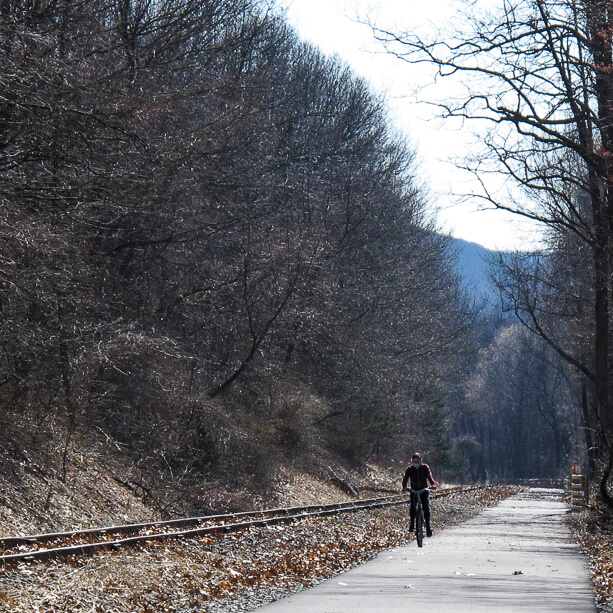
An Empire State Trail Loop Ride: The Maybrook Trailway Past Whaley Lake
More e-bike routes you might like:
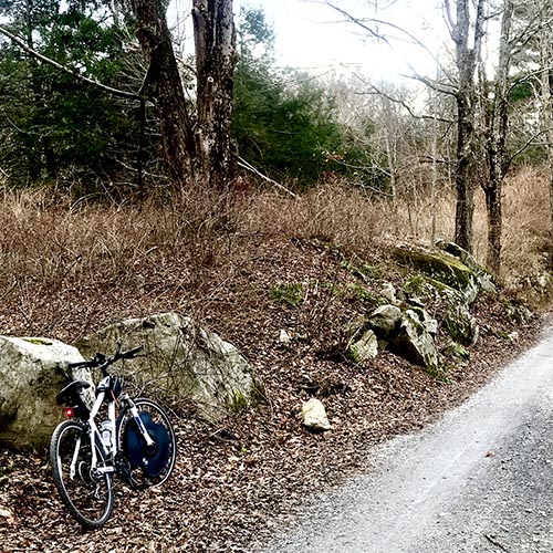
The Fahnestock
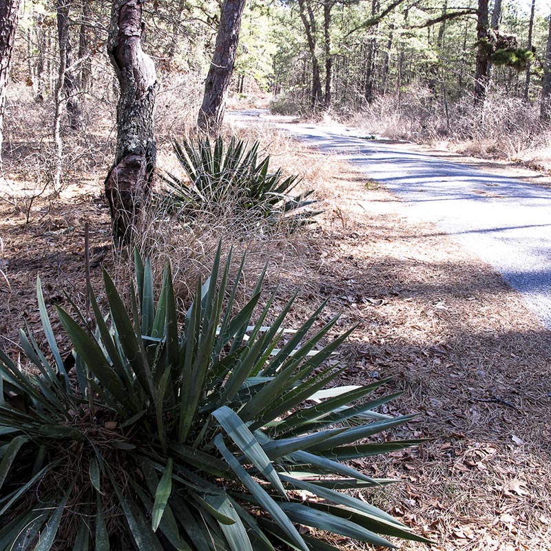
Further Afield: Brendan T. Byrne State Forest
